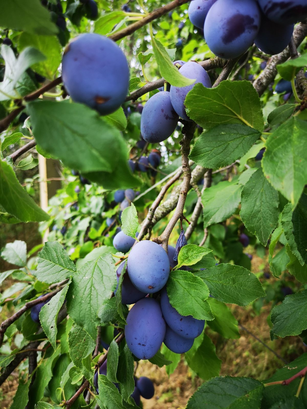


Čičarija
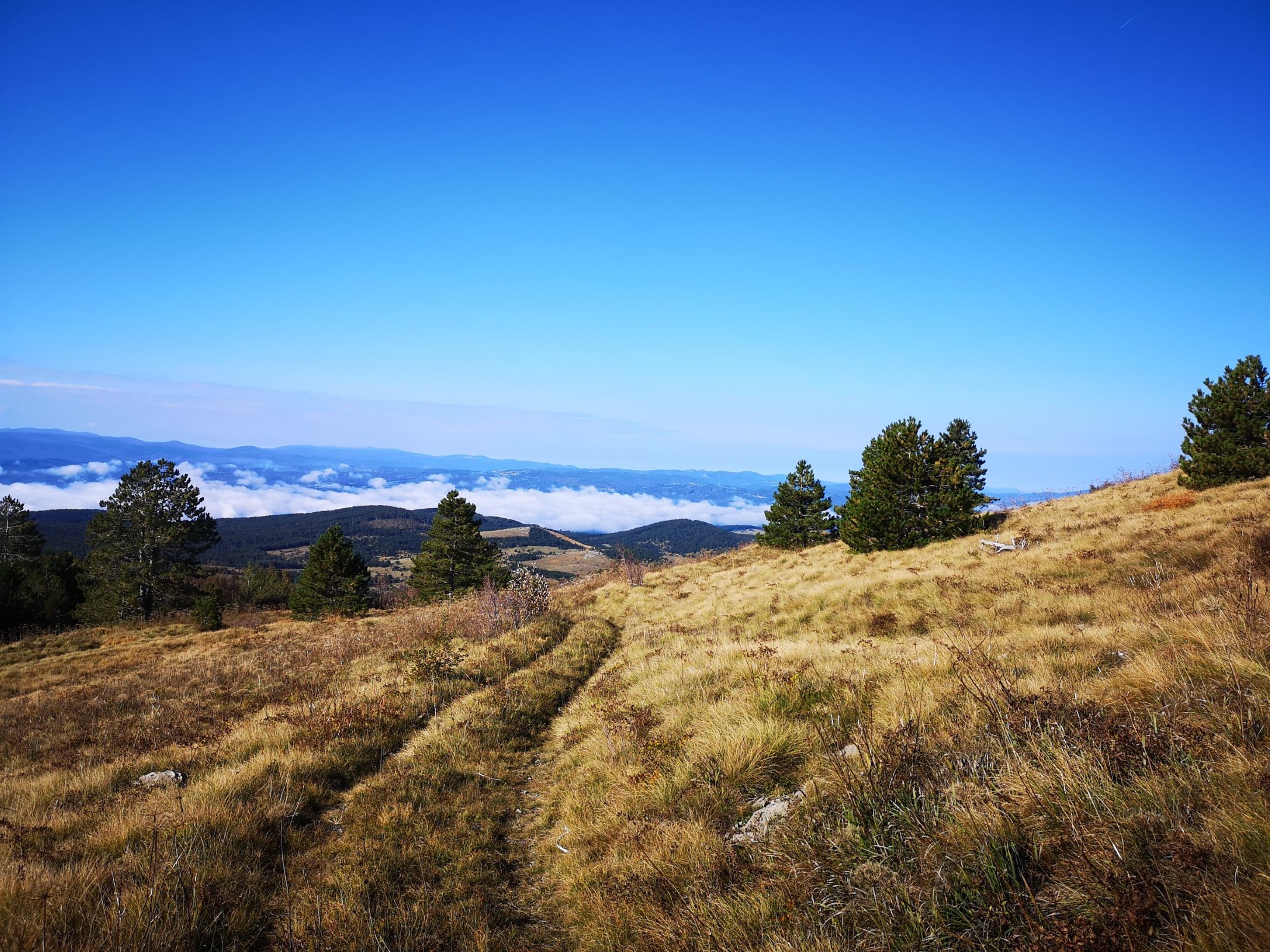
The route leads from the Podgrad sub-valley first into the Brkini Hills, and then across the karst surface of Čičarija. The undulating path, with sometimes steep stretches of rough macadam, leads through forests and isolated stone villages where nature has claimed almost all the space.

Length
31.5 km

Height difference
690 m

Background
asphalt, macadam

Difficulty
3 / 5

Route
Hrušica-Male Loče-Obrov-Ritomeče-Slivje-Markovščina-Golac-Poljane pri Podgrad-Hrušica

Scan the QR code and get the full itinerary