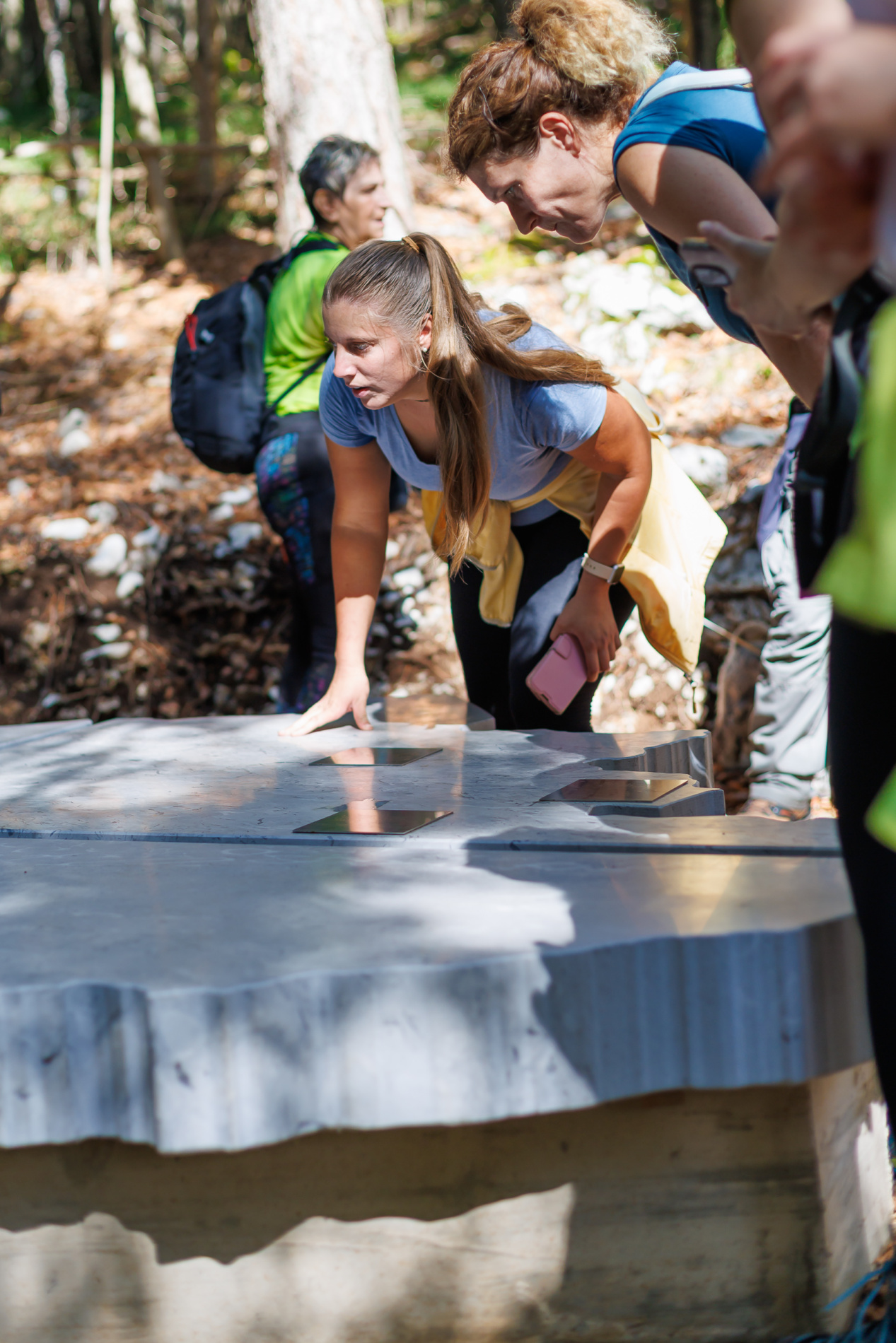


Geometrical Centre of the Municipality of Ilirska Bistrica
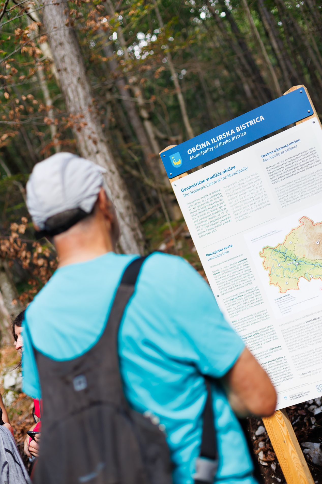
The geometrical centre of the municipality is its centroid point if we imagine the municipality as a geometric shape. If its shape were carefully cut out on cardboard along the municipal boundaries and placed on the tip of a needle at its centroid, it would remain balanced. The coordinates of the geometrical centre are 45° 33′ 58.9″ of north latitude and 14° 17′ 10.8″ of east longitude. The position of the centre was calculated in March 2025.
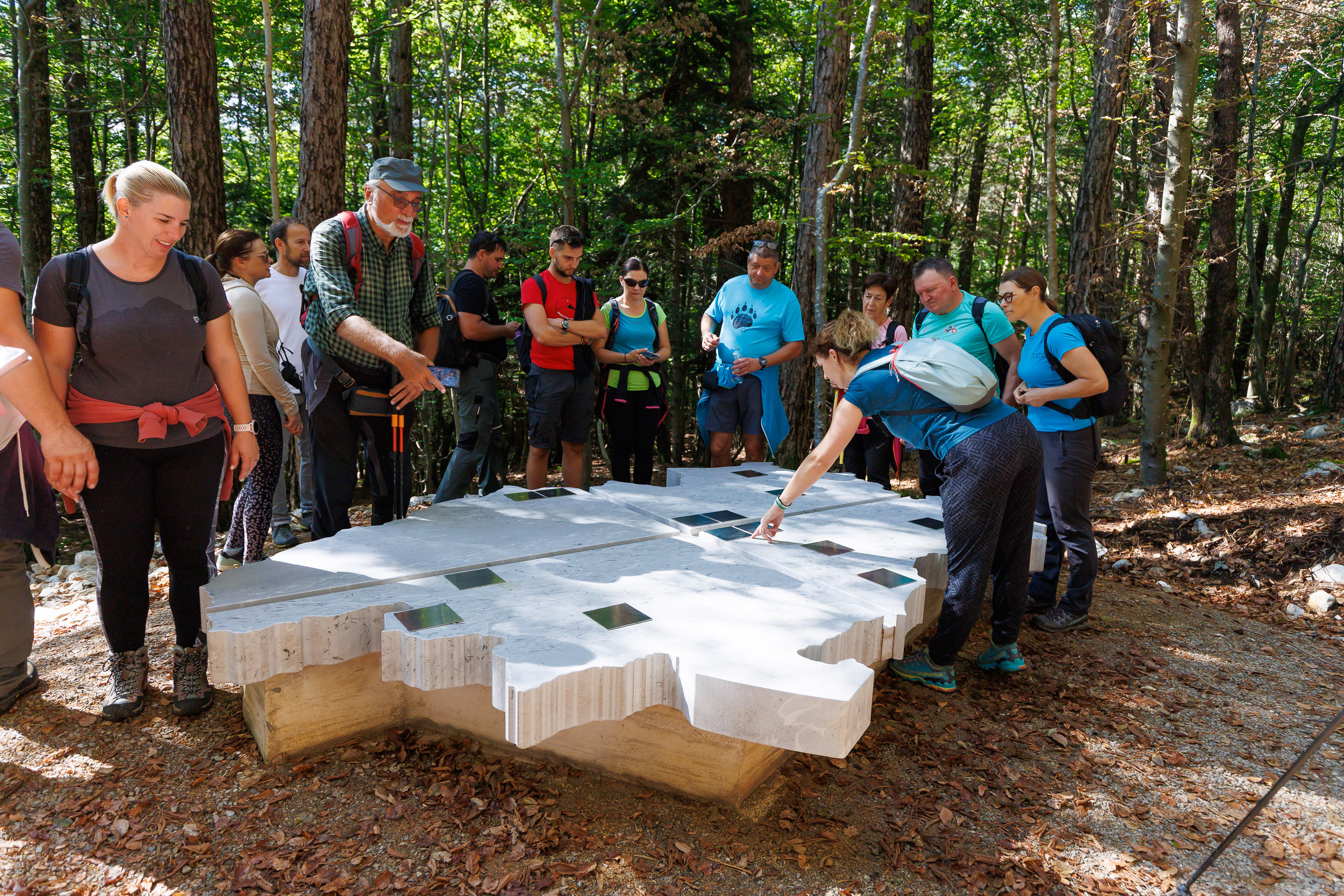
You can start your journey at Črne njive, from where you follow the paved road to the turnoff for Sveti Ahac, where the first trail marker pointing to the geometric center can be found. Follow the signs along the gravel path all the way to the center of gravity. Here, you will find an interpretation board and a stone sculpture shaped like the outline of the municipality, with compass directions and plaques highlighting the municipality’s main attractions. You can also continue your exploration to Ahac Hill.